THE PUBLIC ZOO
Produced as part of Zoo-Topia, curated by Eszter Steierhoffer, London Festival of Architecture, 2012
Download Public Zoo map here
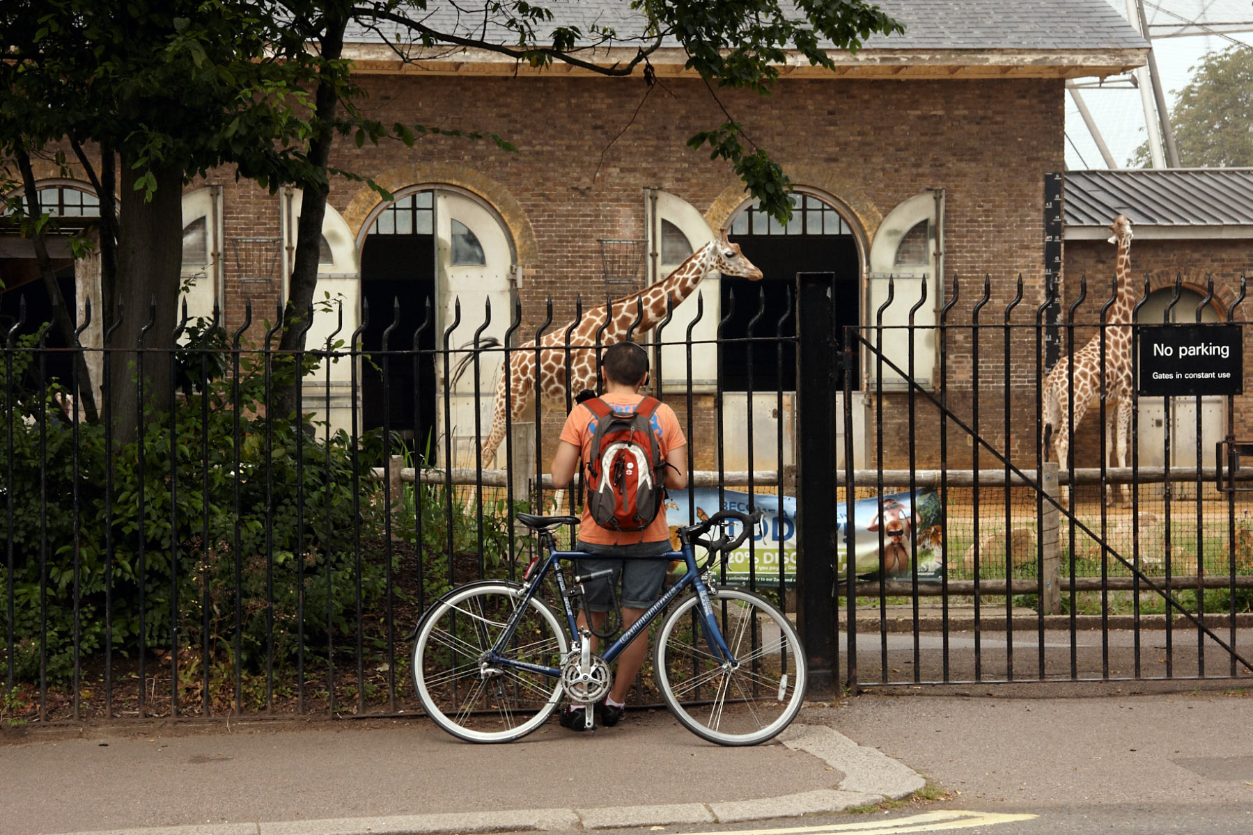
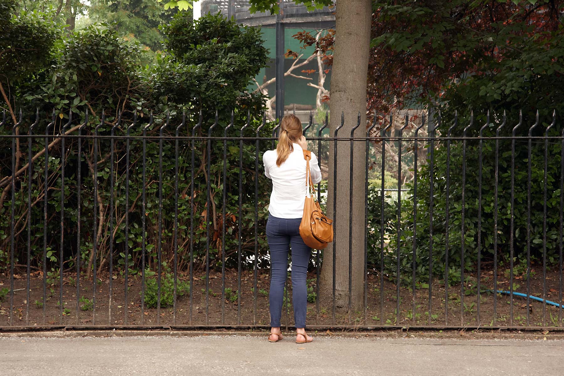
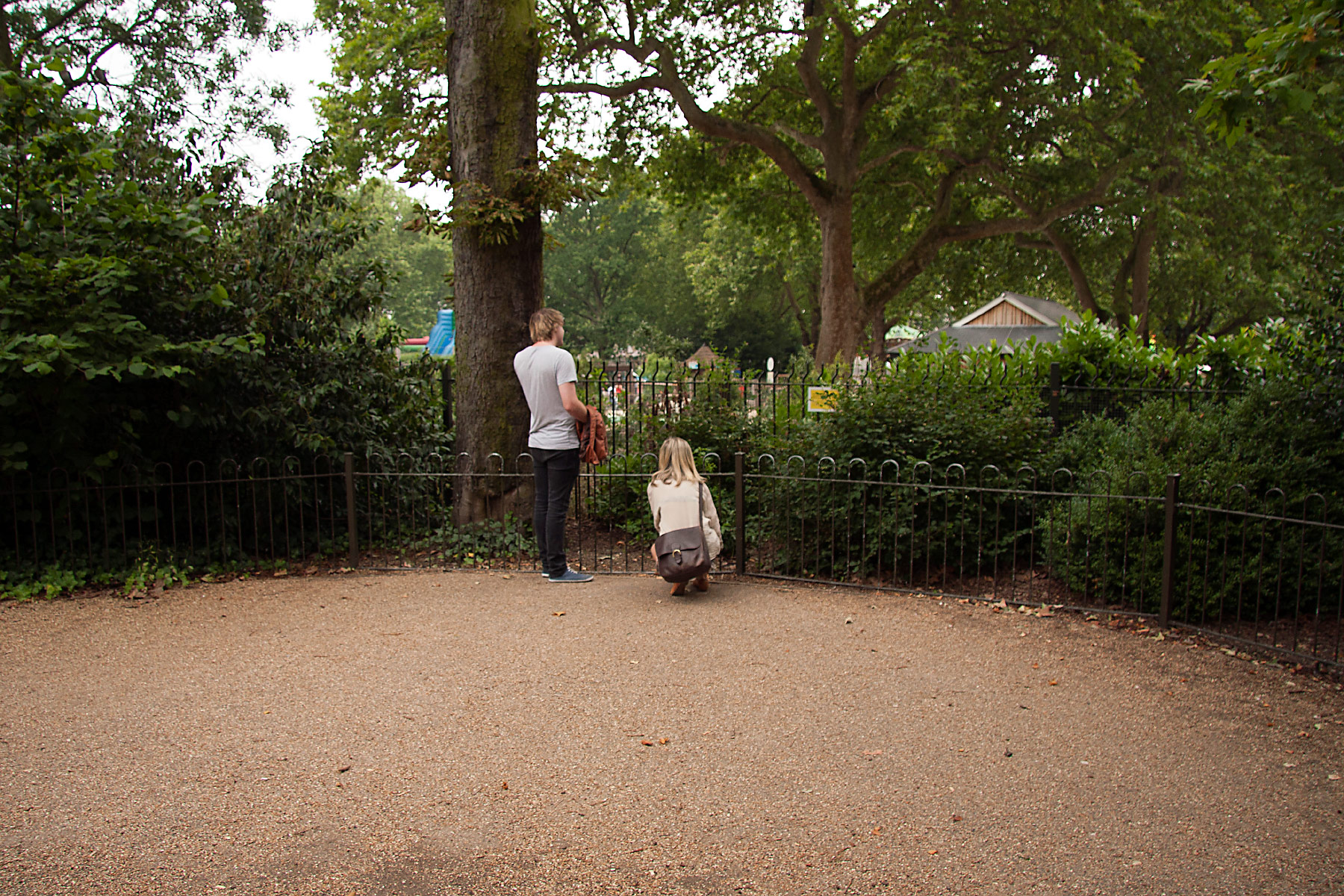
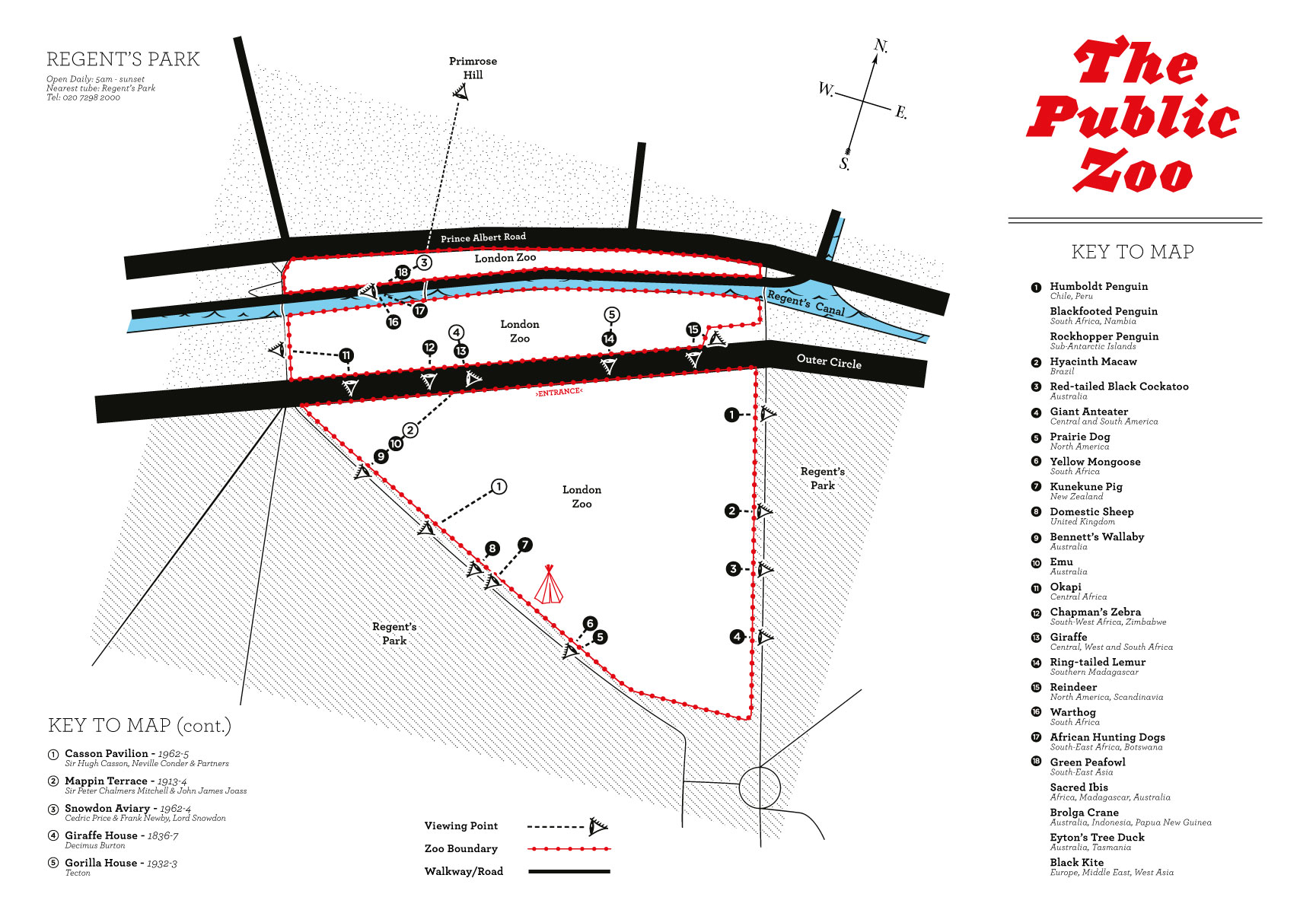
The Public Zoo map is a practical guide to the numerous vantage points from where animals, fragments of utopian modernist architecture, as well as peculiar human › animal, and human › human interactions are visible to the public eye.
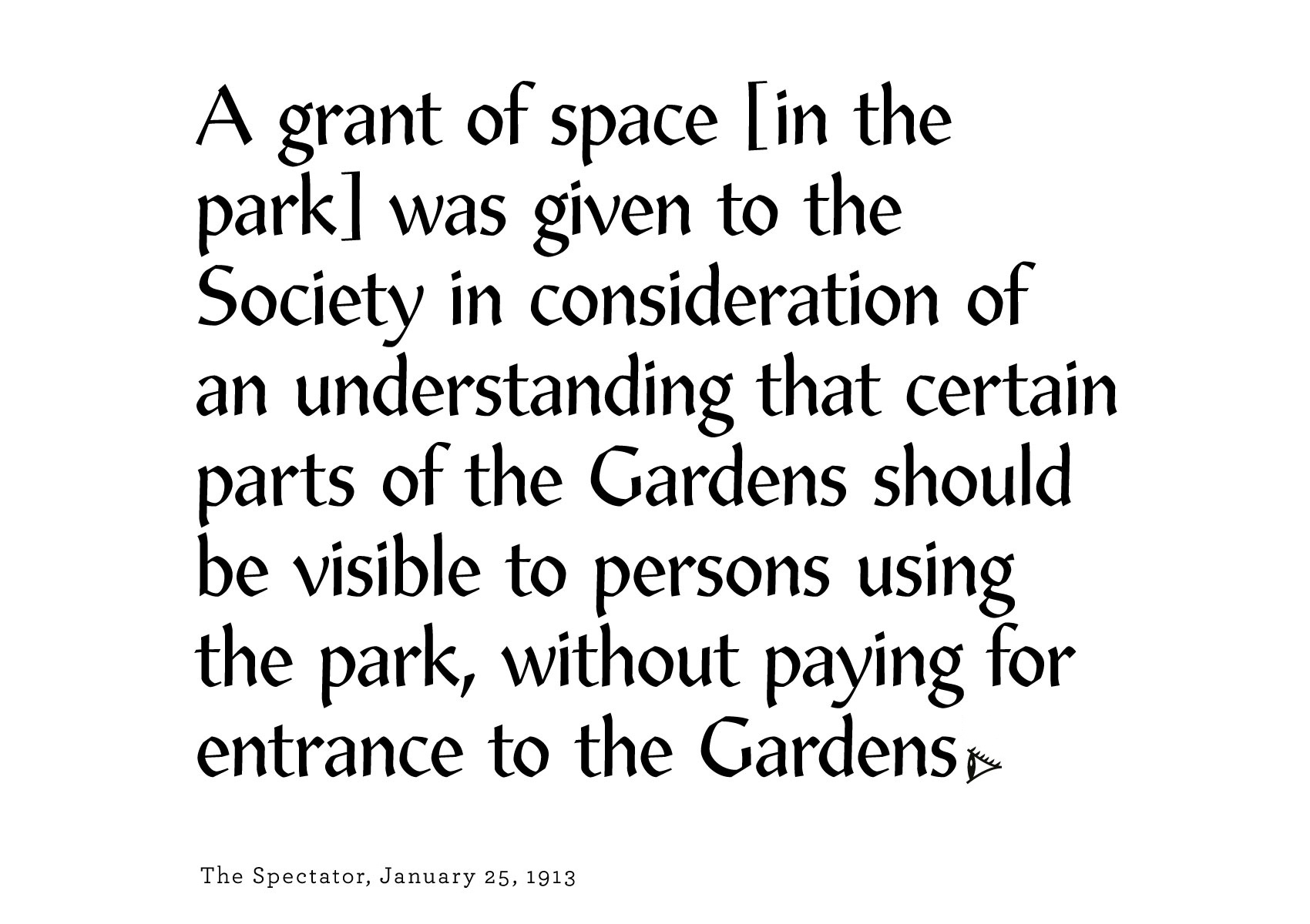
The century-old clause that granted the Zoological Gardens its position in the Royal Parks under the condition that the non-paying public could have visual access is now just as obscured as the visibility from outside the zoo, which is covered almost entirely with thick plantation and solid walls.
As the perimeter became increasingly opaque, the accessible views were turned decisively into voyeuristic gazes, in effect shifting the zoo’s original intention from a public exhibit to an enclosed institution. The Public Zoo map is a guide to these concerted lines of sight.
Produced as part of Zoo-Topia, curated by Eszter Steierhoffer, London Festival of Architecture, 2012
Download Public Zoo map here
